With over fifty years of combined experience in the surveying and mapping industry we at Control Surveys have the expertise for all types of surveys relating to a wide range of Land Registry and legal mapping issues.
Land Registry Mapping
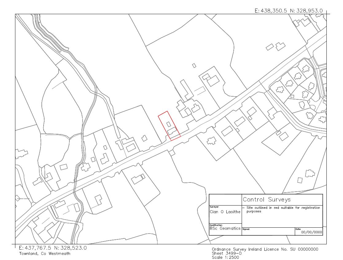
When a property or part of a property requires a new title, the new plot needs to be lodged and approved by the Property Registration Authority (PRA). We provide the complete service of site and boundary survey, area certification and production of title maps for submission to the PRA.
We also provide land registry compliant mapping for right of ways, wayleaves and for first registration of new and previously unregistered properties.
Boundary Surveys
We carry out boundary surveys where the boundary lines on a folio or sale map are compared with the existing boundaries on site. Any discrepancies are highlighted and can be addressed before any purchase or sale is finalized. We can set out boundaries as per the existing folio mapping if a boundary has been removed or had never been established in the first place.
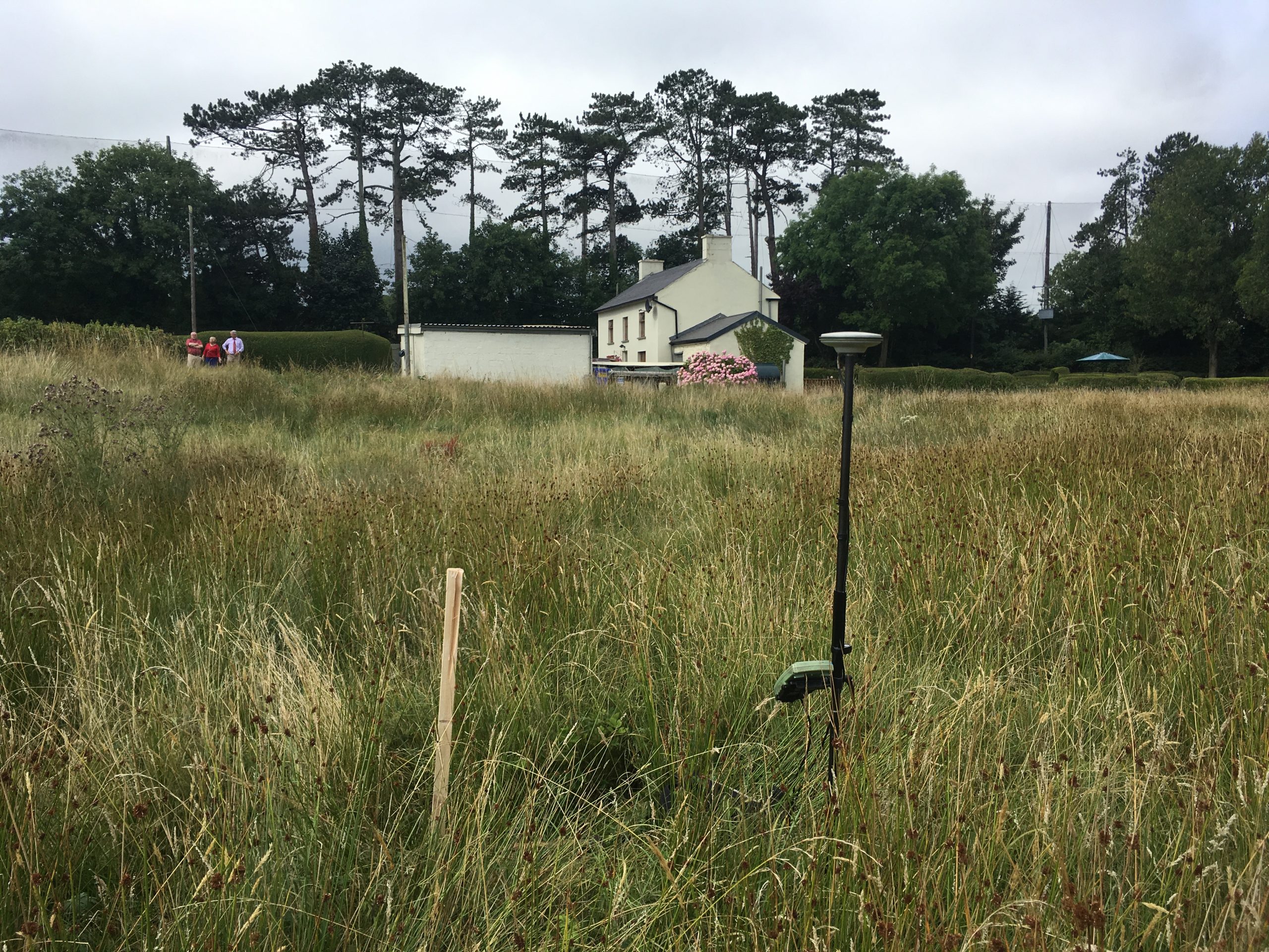
If required by your solicitor, we can also a prepare a declaration of identity to certify the area and to confirm that the physical boundaries are wholly contained within the boundaries of the folio map.
Property Subdivision
If an individual decides to subdivide their parcel of land Control Surveys can facilitate by completing all mapping requirements including area calculation and physically defining the new boundary on site. We will also prepare the maps for registration with the PRA.
Multi-Story Registration
Where a development involves separate registration of apartments, flats, floors, retail units etc., the PRA requires each unit to be clearly and unambiguously identified in the vertical as well as the horizontal extent. To achieve this, scaled floor plans are required relative to Ordnance Survey co-ordinates and Malin Head Datum along with a Land Registry Compliant Map.
We at Control Surveys can carry out a full measured survey of the floor plans and prepare the relevant maps which follow PRA rules.
Boundary Disputes
Possession is nine tenths of the law, and the map is the legal record of possession. It is of the utmost importance that mapping and associated surveys are an accurate representation of what is on the ground to avoid lengthy and costly legal proceedings, which can result if the necessary care and attention is not taken from the outset.
Control Surveys may be nominated by agreement between the disputing parties or by one party only to undertake a survey and produce an objective and independent report which defines the boundary between adjoining properties as per the title deed maps. As a member of the Society of Chartered Surveyors Ireland and the Royal Institution of Chartered Surveyors we use best practice guidelines in all boundary dispute cases.
Area Calculation
A common area of dispute between landlords and commercial tenants is the drafting of particulars in new lease agreements. Disputes arise in agreeing the as-built floor area of a commercial unit which ground rents and management fees are based upon. By producing accurate floor plans Control Surveys can determine the Net Internal Area (NIA) and Gross Internal Areas (GIA) in line with International Property Measurement Standards (IPMS).